GAS–26.03● 6 places
01
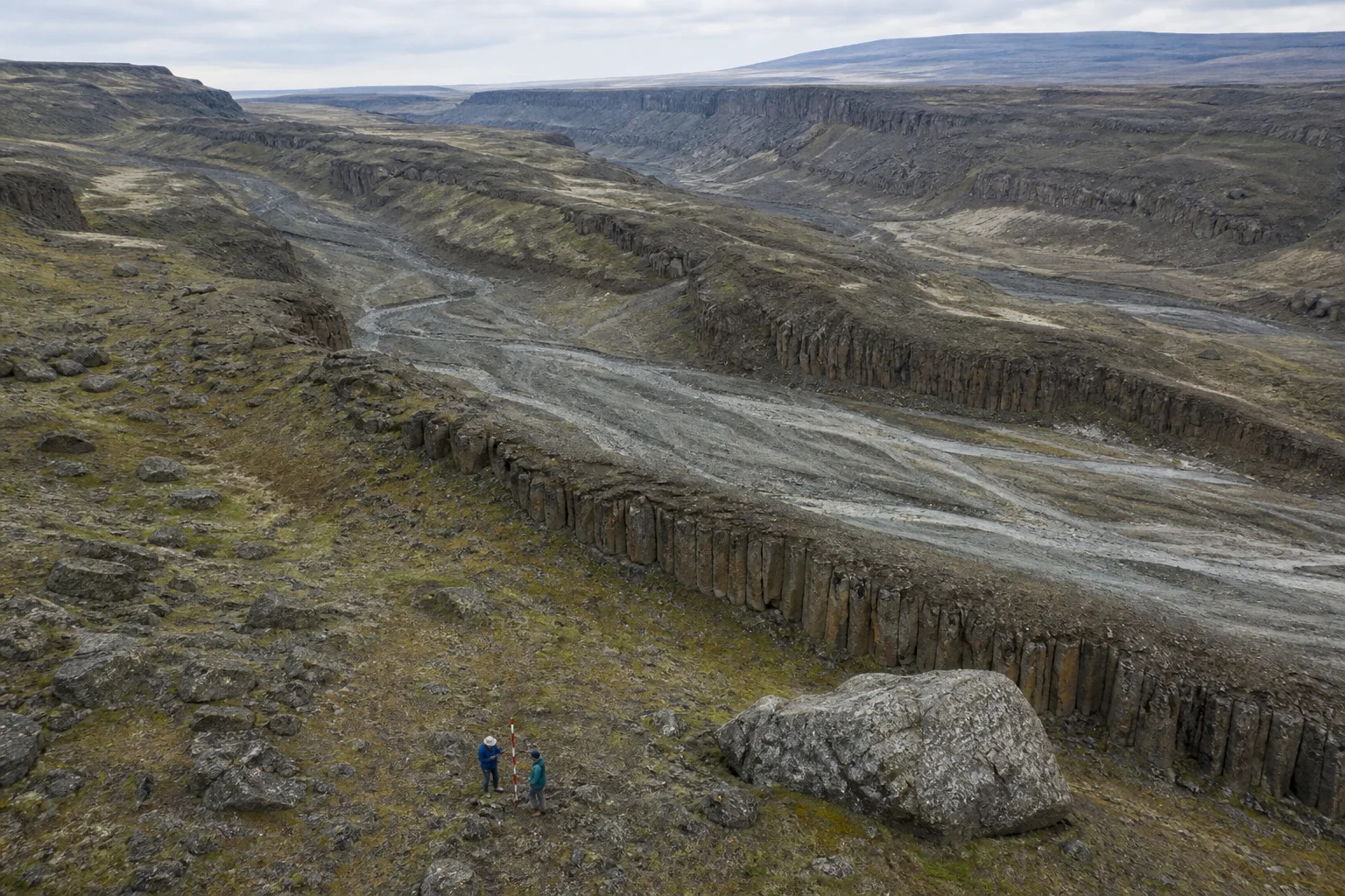
18–24 Sep 2026 · Columbia Scablands, WA
Global Anthropology Society
GAS is an independent multidisciplinary field-research and education initiative examining contested questions in human history with explicit hypotheses, documented methods and calibrated uncertainty.
We convene expertise across archaeology, geology, hydrology, geophysics, remote sensing, computation, history and field operations. Different disciplines. One shared obligation: make evidence auditable.
Read our research position →Small-team expeditions to landscapes where geology, oral history and the archaeological record refuse to resolve neatly.
18–24 Sep 2026 · Columbia Scablands, WA
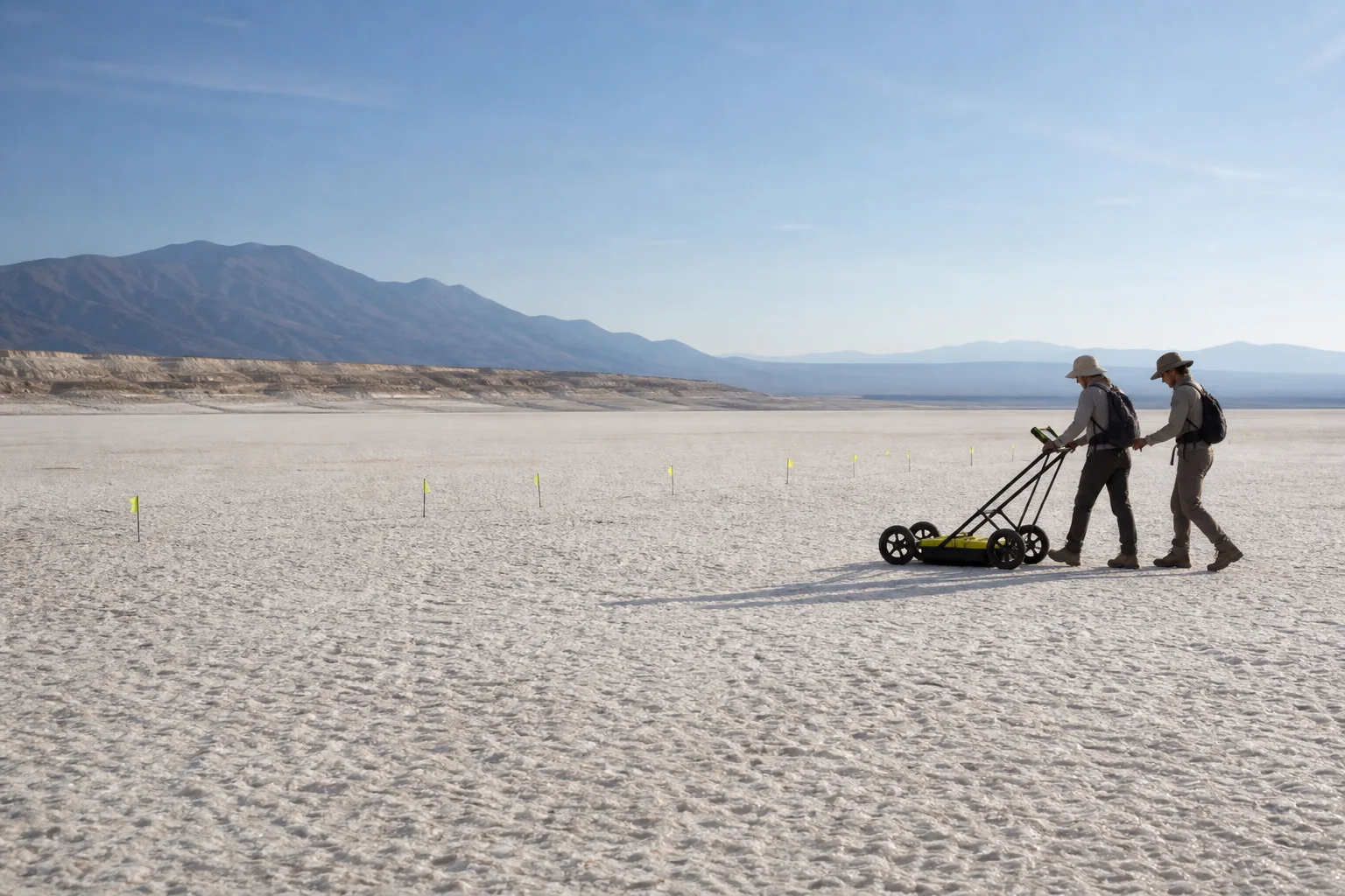
12–19 Feb 2027 · Tularosa Basin, NM
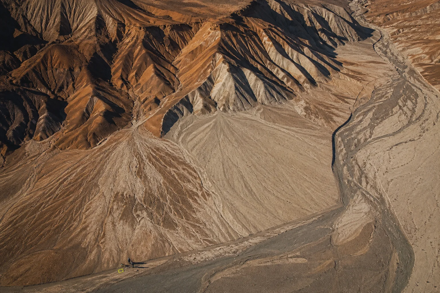
03–11 May 2027 · South Coast, Peru
Technology helps us see patterns. Field context tells us whether those patterns mean anything.
AI-assisted literature synthesis, entity resolution and geospatial correlation, with expert review of every analytical output.
Paleohydrology, geomorphology and stratigraphic reasoning used to model how landscapes changed through time.
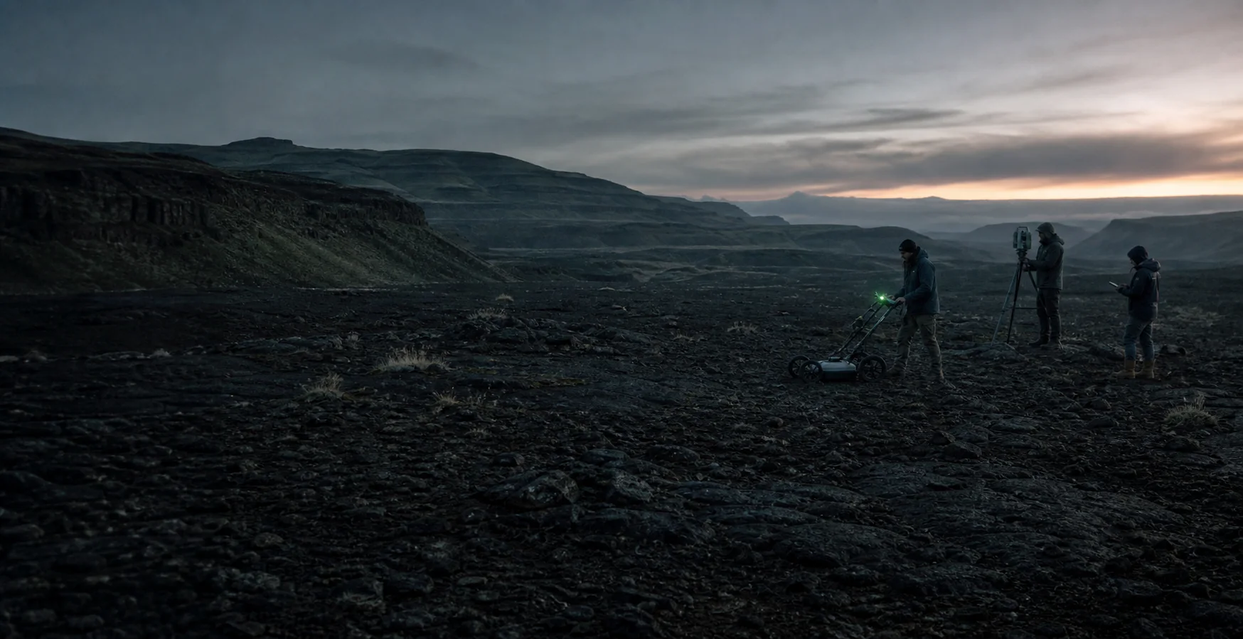
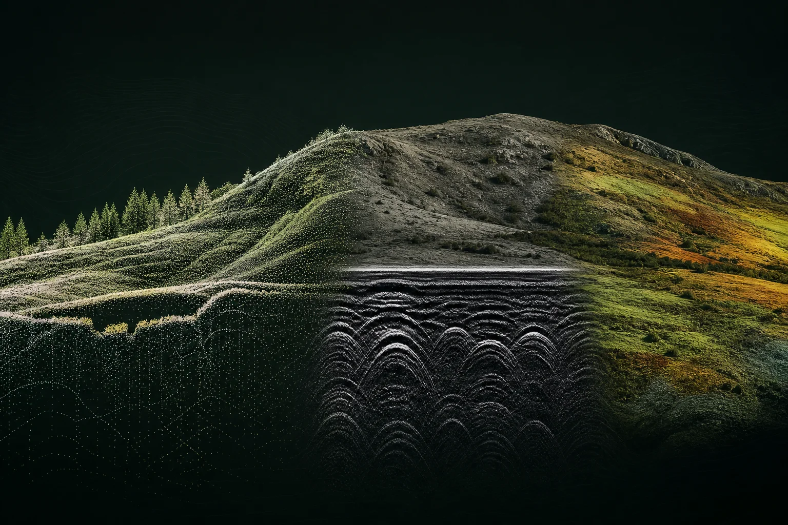
LiDAR, photogrammetry, ground-penetrating radar and complementary non-invasive geophysical survey.
Multispectral and hyperspectral imaging, field spectroscopy and documented sampling pathways for laboratory confirmation.
Every method is paired with acquisition notes, known limitations and a plan for independent review.
Read the research framework →Bring the anomalous artifact, the overlooked paper, the local account. Expect sourcing, counter-evidence and serious review.
Browse open forum ↗DEEPER SEEKER
Explore the North American deep-history atlas: an evidence map for contested places, objects and traditions—open to anomalies, strict about labels.
Open Deeper Seeker ↗Founding cohort
Join the first generation of GAS members. Help shape regional chapters, research standards, field grants and the expedition program from the ground up.