Question design
Define the observation, frame a falsifiable research question and state plausible conventional and alternative explanations before fieldwork begins.
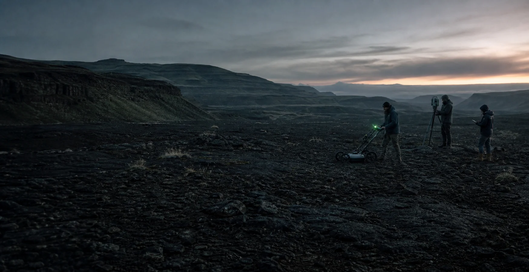
Research positionWe investigate difficult questions by making assumptions, methods, evidence classes and uncertainty visible from the beginning.
Global Anthropology Society is an independent field-research and education initiative in development. It is not a degree-granting institution, government agency, excavation authority or substitute for formal peer review.
Our objective is to produce field briefs, documented observations and research-ready datasets that qualified specialists can inspect, challenge and extend.
No single instrument, image or expert opinion closes a question. Each project advances through explicit research and quality-control gates.
Define the observation, frame a falsifiable research question and state plausible conventional and alternative explanations before fieldwork begins.
Trace documents, datasets, images and material claims to their earliest available context; record gaps, transformations and conflicts.
Select the least destructive method capable of testing the question. Establish controls, coordinate systems, calibration requirements and decision thresholds.
Capture instrument settings, environmental conditions, operator notes, spatial control and chain-of-custody records alongside the observations.
Compare independent lines of evidence, preserve negative results and test whether ordinary geological, cultural or measurement processes explain the signal.
Separate observation from interpretation, quantify uncertainty where possible and publish limitations, counter-evidence and revision history.
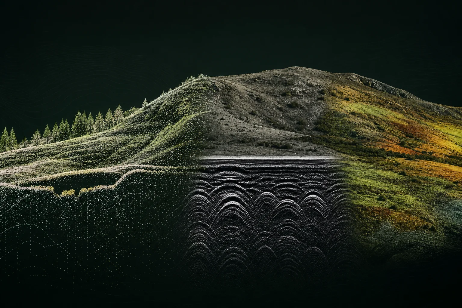
Document extraction · entity resolution · geospatial correlation · image comparison
Organize large, fragmented source collections and identify relationships worth expert examination.
Model output is a lead, not a finding. Hallucination, source bias and duplicate provenance require human review.
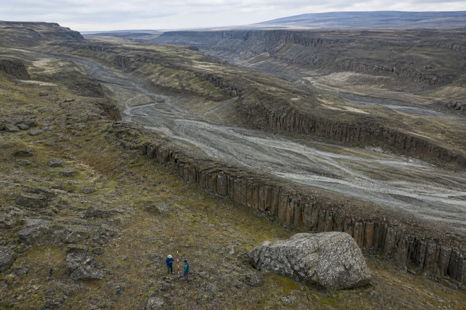
Paleohydrology · geomorphology · stratigraphy · sedimentary context
Reconstruct landscape formation, water history, burial processes and the sequence of environmental change.
Landscape analogies do not establish age or human association without independent chronological and contextual evidence.
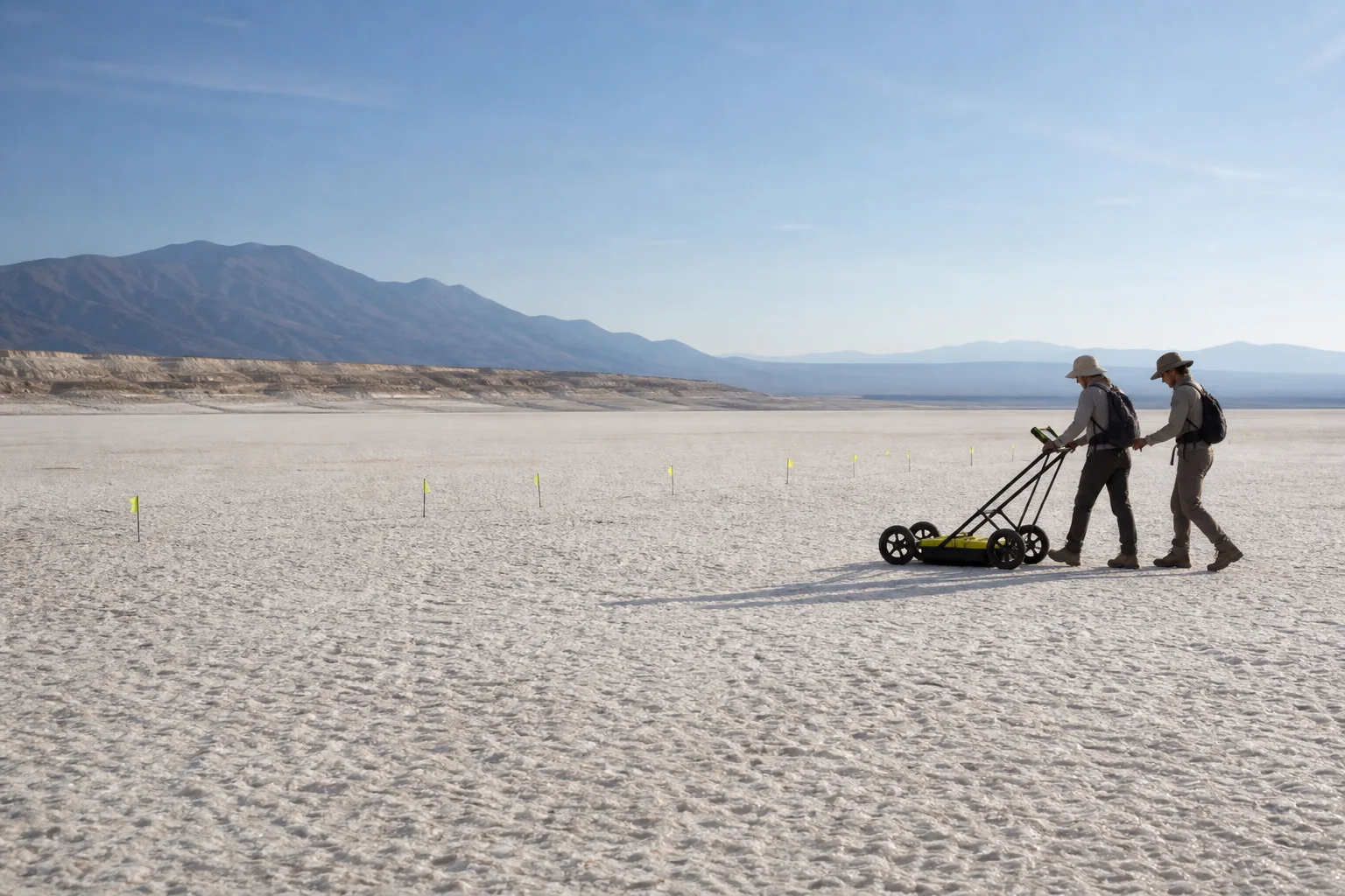
LiDAR · photogrammetry · GPR · magnetometry · electrical resistivity
Map surface form and subsurface contrasts without disturbing archaeological or geologic contexts.
Geophysical anomalies are contrasts in physical properties, not automatic evidence of structures, artifacts or human activity.
Multispectral imaging · hyperspectral imaging · field spectroscopy · microscopy
Document non-visible response, surface composition and material heterogeneity for targeted follow-up.
Field screening supports classification and sampling decisions; definitive composition or dating may require accredited laboratory analysis.
Classification describes the present state of support. It can move in either direction as provenance, replication and counter-evidence change.
A primary observation with location, time, instrument or source context and an identifiable custodian.
Inputs and method are sufficiently described for a qualified reviewer to repeat or audit the work.
Multiple lines of evidence favor an explanation, with viable alternatives and uncertainty stated.
Evidence is real but its meaning, chronology or association remains unresolved.
Provenance, context or independent support is presently insufficient for a research conclusion.
See the arithmetic, the source record, the counter-reading and the evidence threshold for each claim.
Stewardship before spectacle