Field programs / 2026—2027Applications now open

Leave the archive.
Enter the terrain.

Small teams · serious questionsExpert-led field programs combining non-invasive sensing, landscape science and careful documentation at contested archaeological sites.

03 field programs

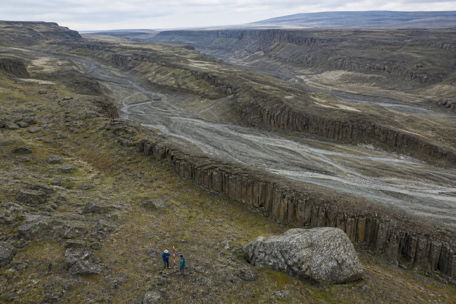
Aerial basalt channels with a small geological survey team for scale01

GAS–26.03

Columbia Scablands · Washington, USA

Megaflood Field Lab

6 places

Trace the scale, sequence and human-era implications of Ice Age megaflood landforms across the Columbia Plateau.

GeomorphologyStratigraphyPhotogrammetry
Dates
18–24 Sep 2026
Duration
7 days
Field level
Moderate field fitness
Program fee
$3,200
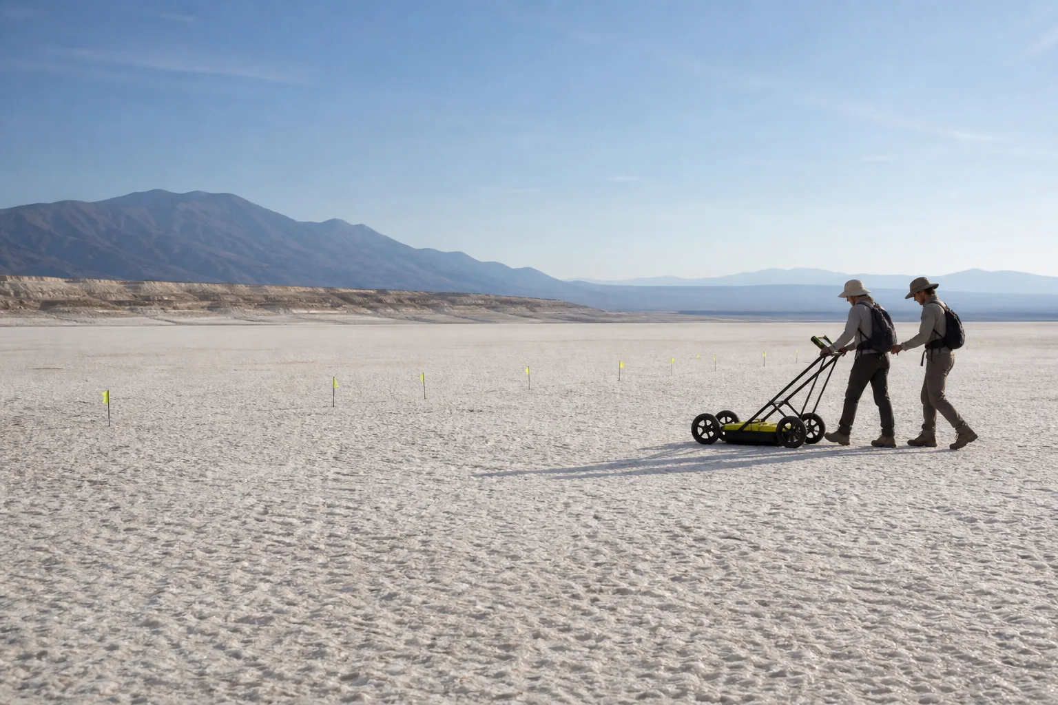
Ground-penetrating radar survey across a pale high-desert basin02

GAS–27.01

Tularosa Basin · New Mexico, USA

Paleo-Lake Transects

8 places

Reconstruct ancient shorelines and test non-invasive survey methods near known late-Pleistocene trackway contexts.

PaleohydrologyGround-penetrating radarSediment logging
Dates
12–19 Feb 2027
Duration
8 days
Field level
Moderate field fitness
Program fee
$4,800
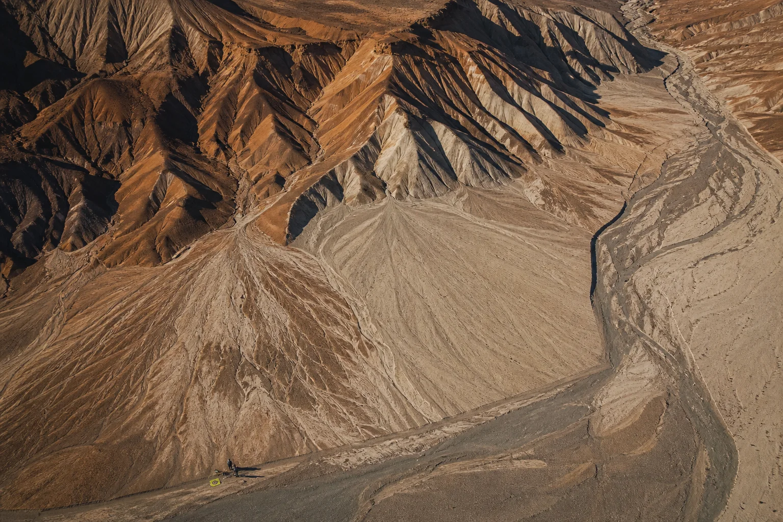
High aerial view of layered coastal desert terrain and a scientific transect03

GAS–27.02

South Coast · Peru

Desert Signal Survey

10 places

Document faint landscape-scale markings and compare spectral signatures without disturbing their archaeological context.

Multispectral imagingPhotogrammetrySurface survey
Dates
03–11 May 2027
Duration
9 days
Field level
High heat tolerance
Program fee
$6,400
What is included

Research briefings, field transport, specialist instruction, lodging, group meals and shared equipment.

Our field ethic

We do not extract artifacts, disclose vulnerable coordinates or enter restricted sites. Every program follows local law and stewardship protocols.

Who can apply

Researchers, skilled amateurs and serious independent investigators. Selection is based on fit, not credentials alone.